August 28, 2018 - Plymouth to Long Island Sound
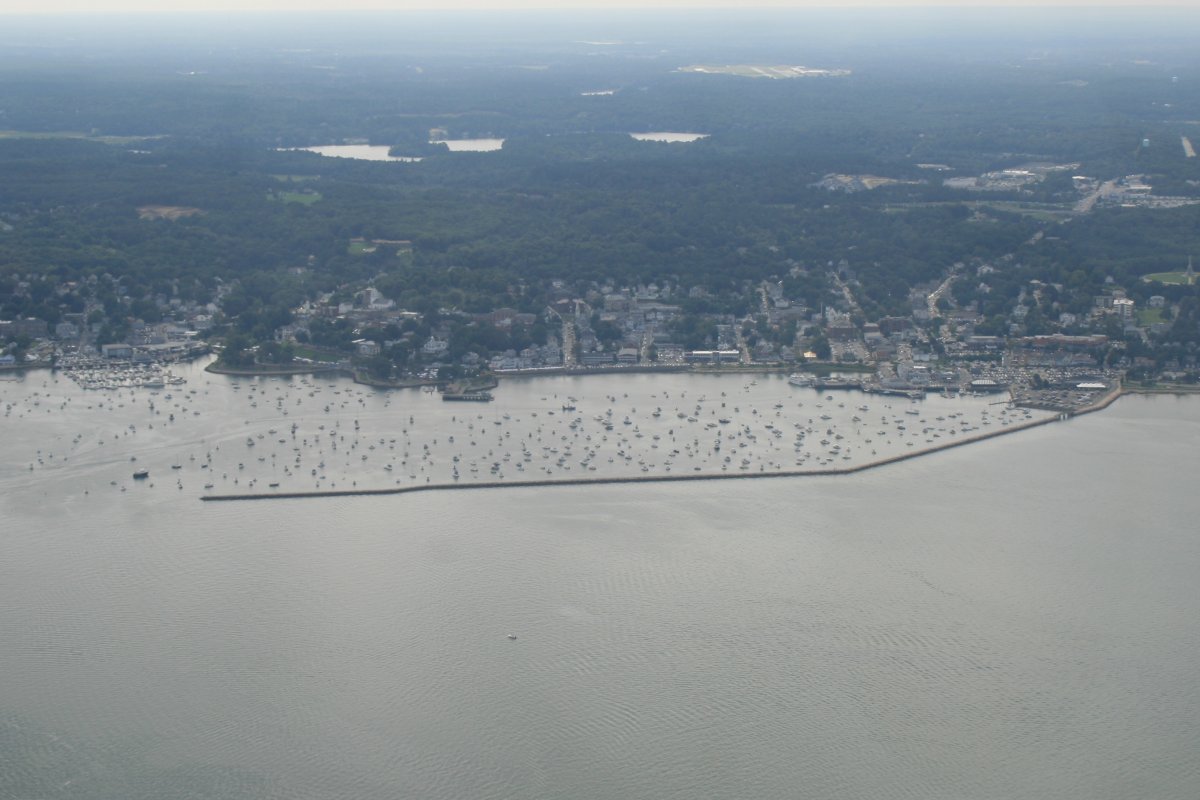
That's Plymouth dead ahead, with a million boats inside the Plymouth Breakwater.
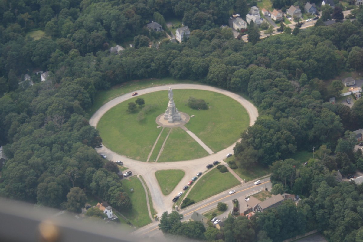
The National Monument to the Forefathers (Pilgrims). I had to look it up afterwards; didn't know it at the time.

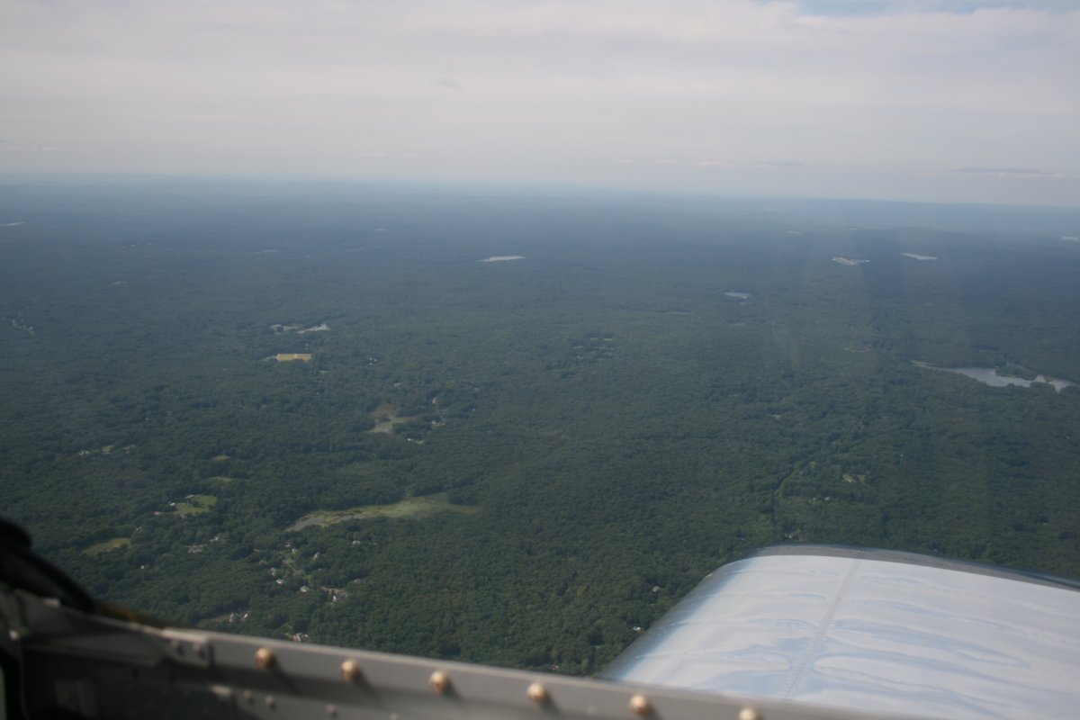
I departed Plymouth Airport and headed south to Buzzards Bay. The plan was to follow the coast along Rhode Island Sound, Block Island Sound, and Long Island Sound all the way to the Big Apple.
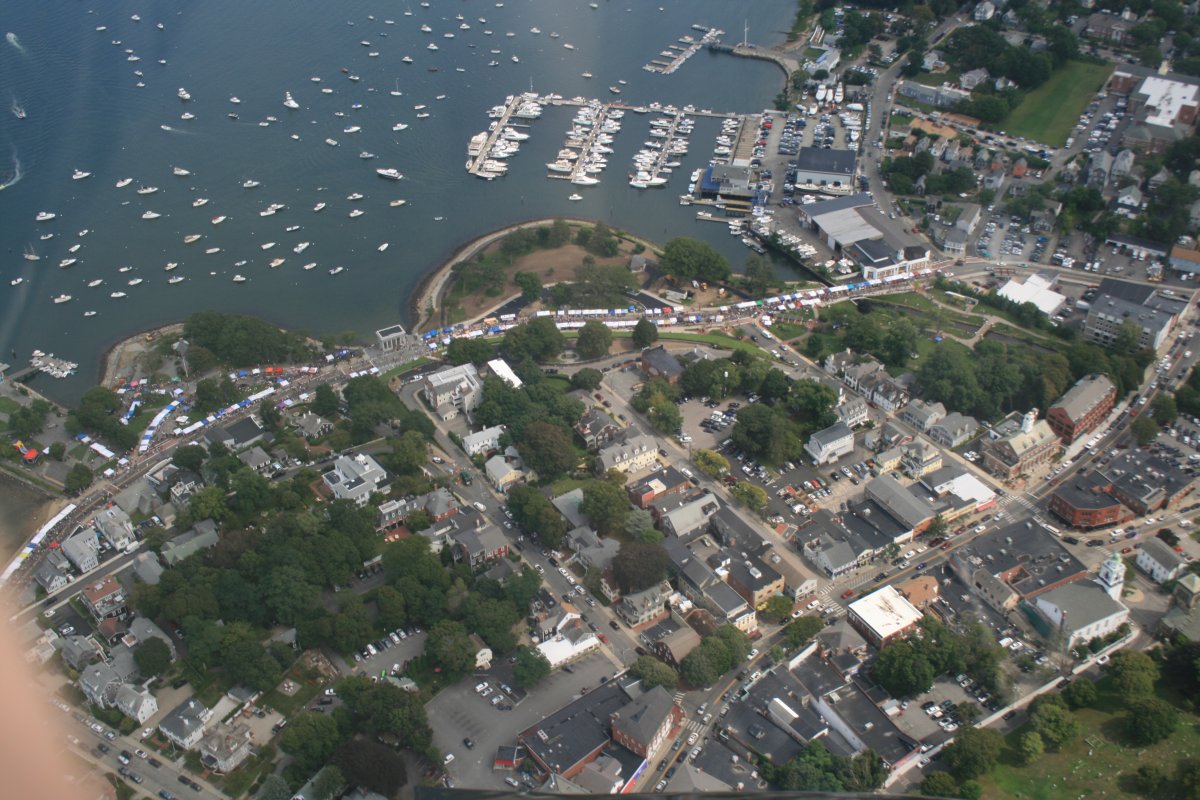
Notice all the boats. Every little bay or harbor I would see today was packed with boats. For every General Aviation airplane there must be 500 boats.
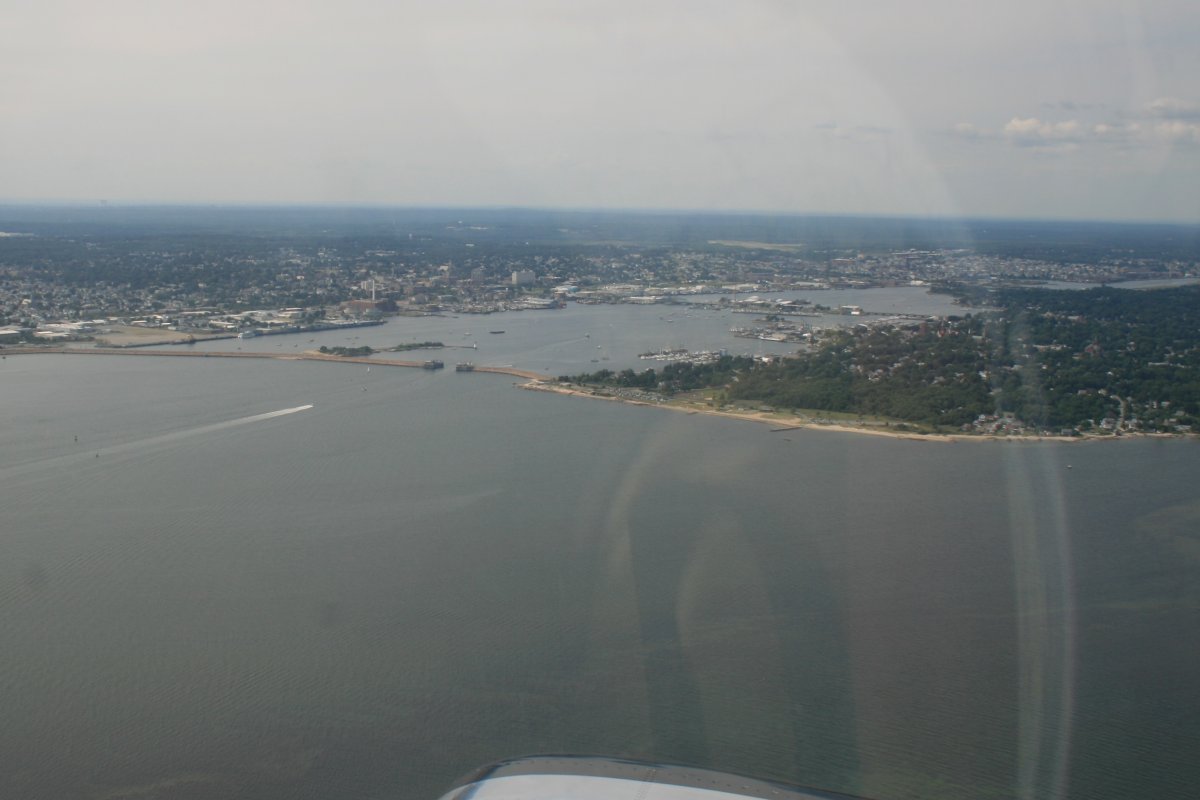
Passing by New Bedford, Massachusetts. During the 19th century, the city was one of the most important whaling ports in the world, along with Nantucket and New Londonn. New Bedford has a whaling musuem that sounds interesting. I've never spent any time in this part of the country and had to compare my pictures with Google Maps to see what they were.
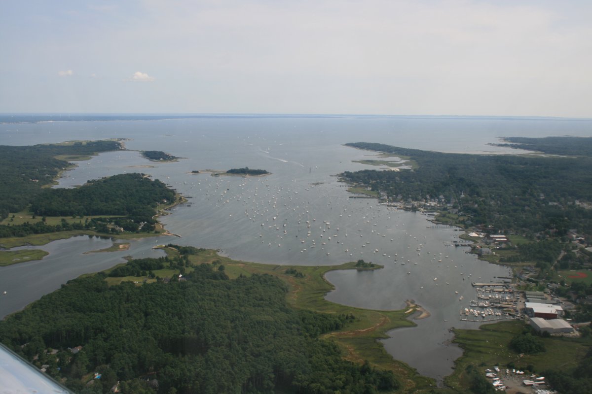
The good sized Sakonnet River heads north into Rhode Island.
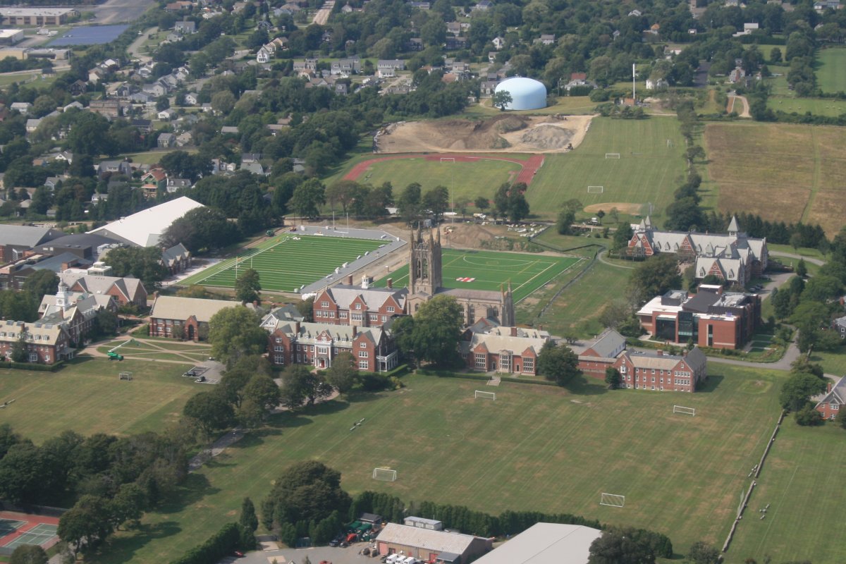
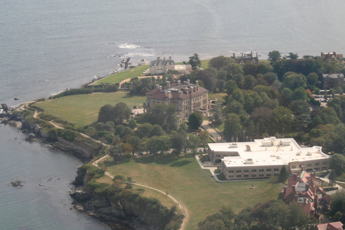
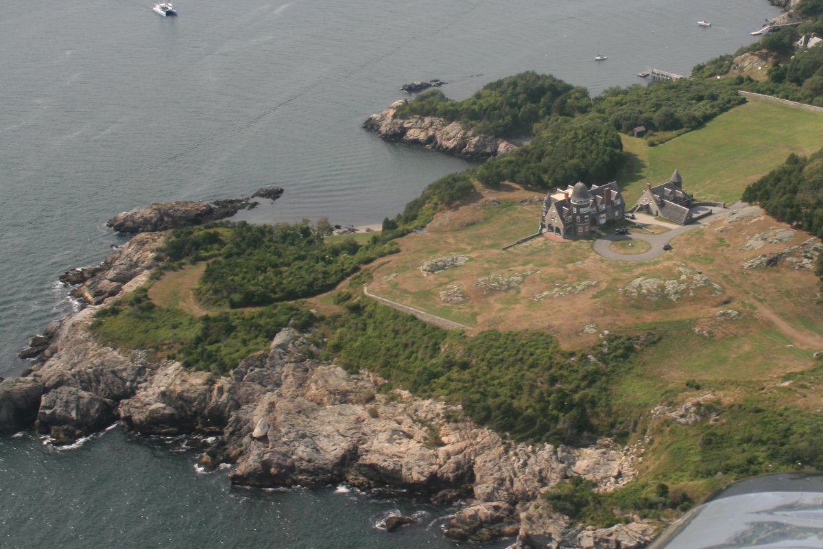
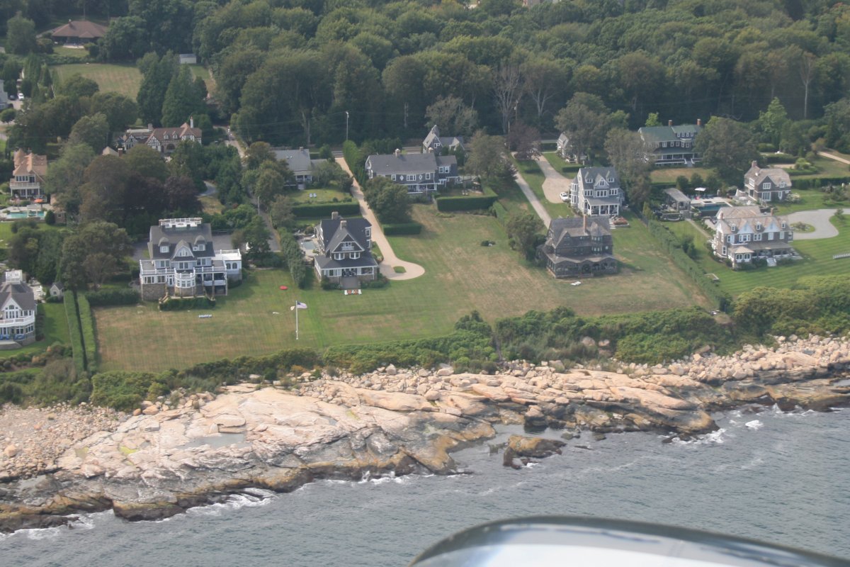
That big building in the middle is "The Breakers", the summer house of the Vanderbilts in the late 1800s. Nice little summer cottage.
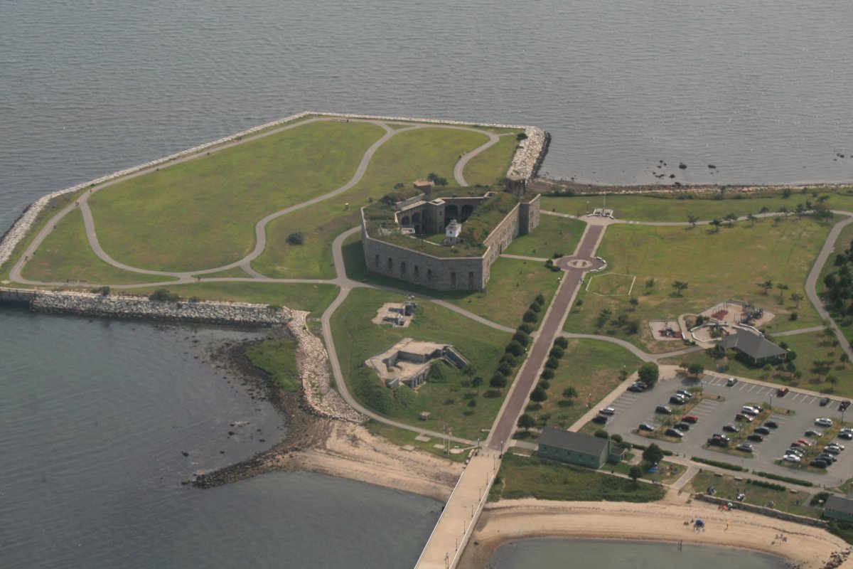
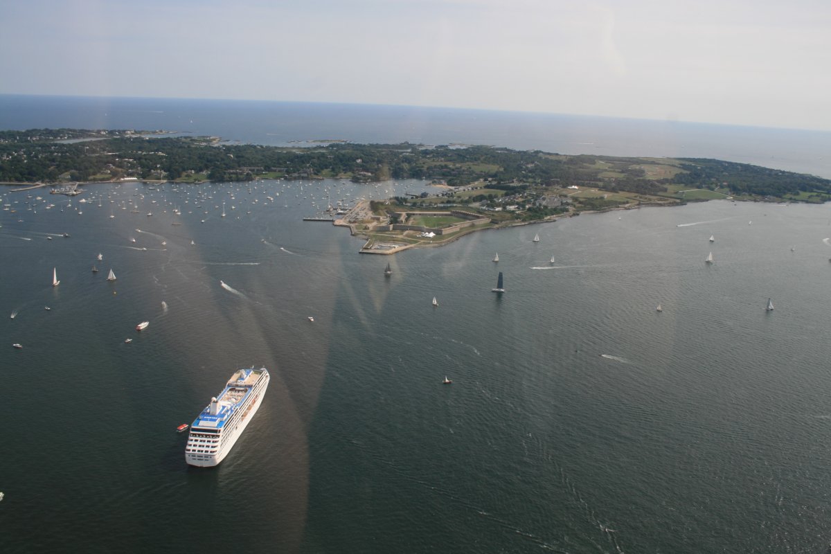
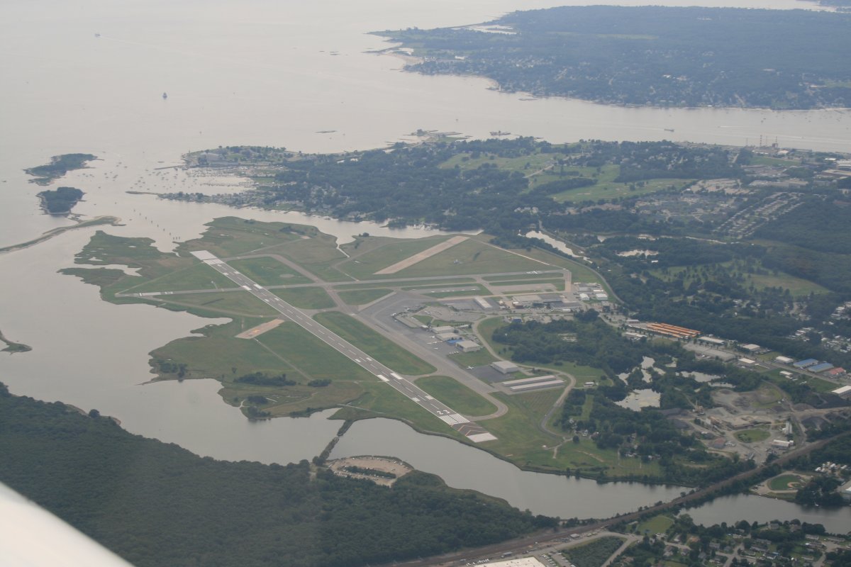
A good look at Narragansett Bay. I did not know it at the time but the Naval War College is on that island just to the right of the beginning of the big bridge. That island -- Coasters Harbor Island -- is essentially a Naval Base which also includes the Navy's Surface Warfare Officer's school.
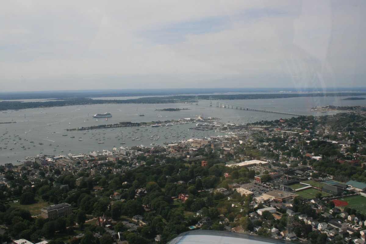
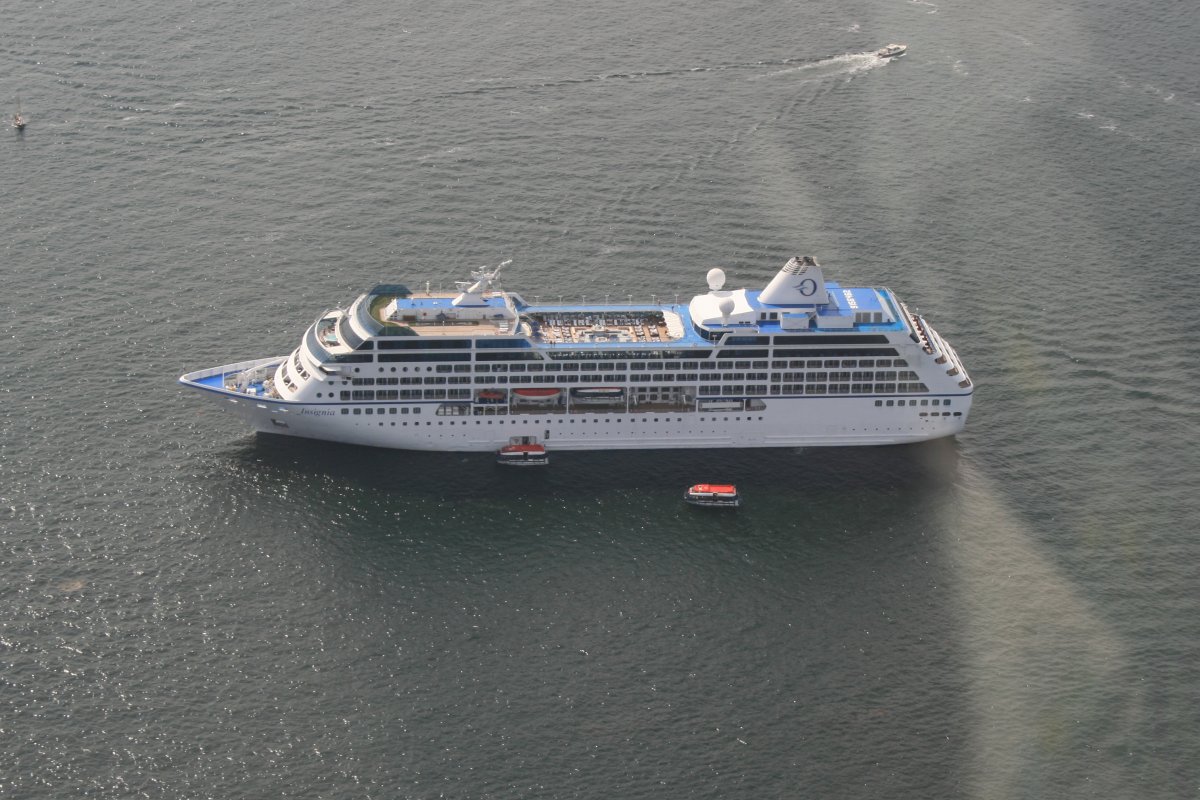
Cruise boat out in Narragansett Bay.

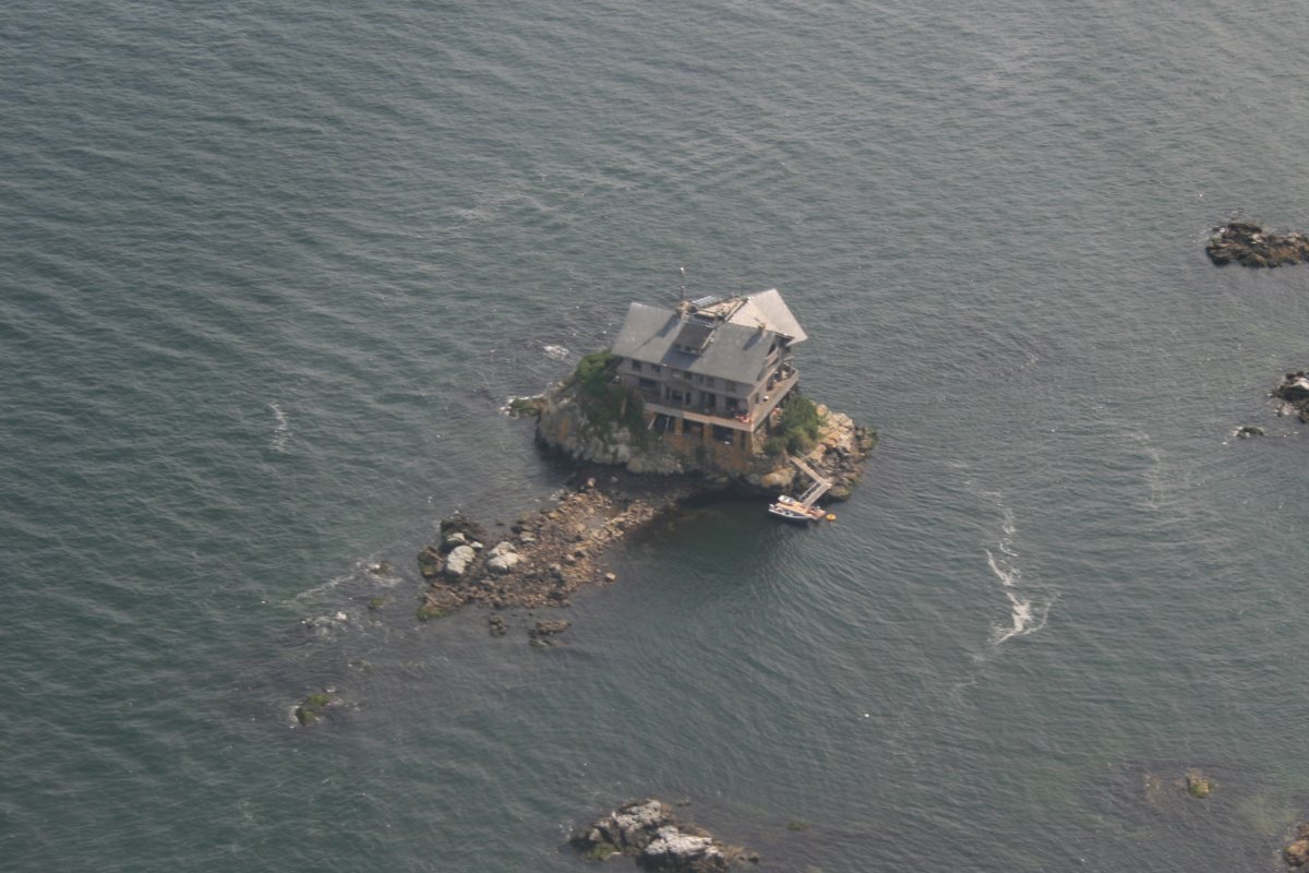
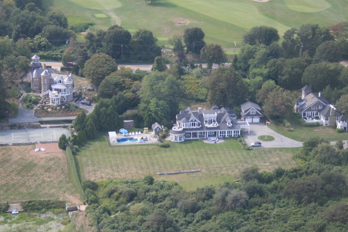
Well, this guy doesn't have to worry about mowing the lawn, raking the leaves or shoveling snow.
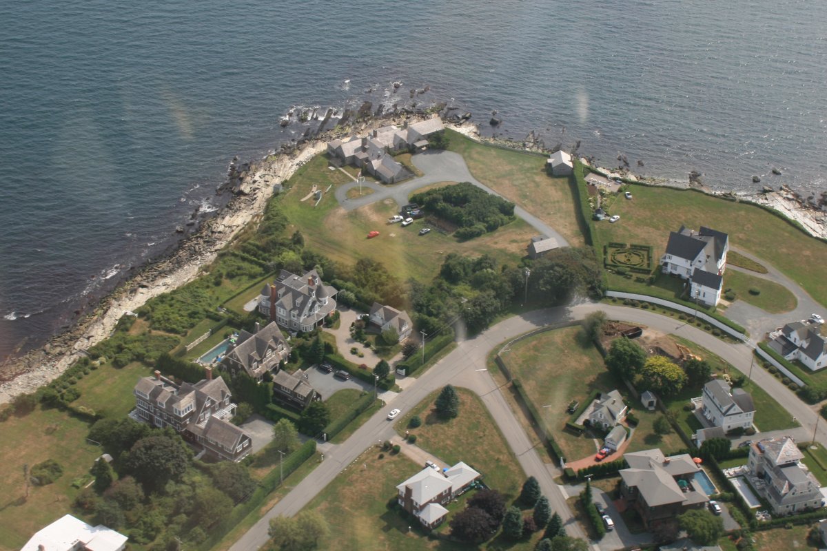
Southwest Point.
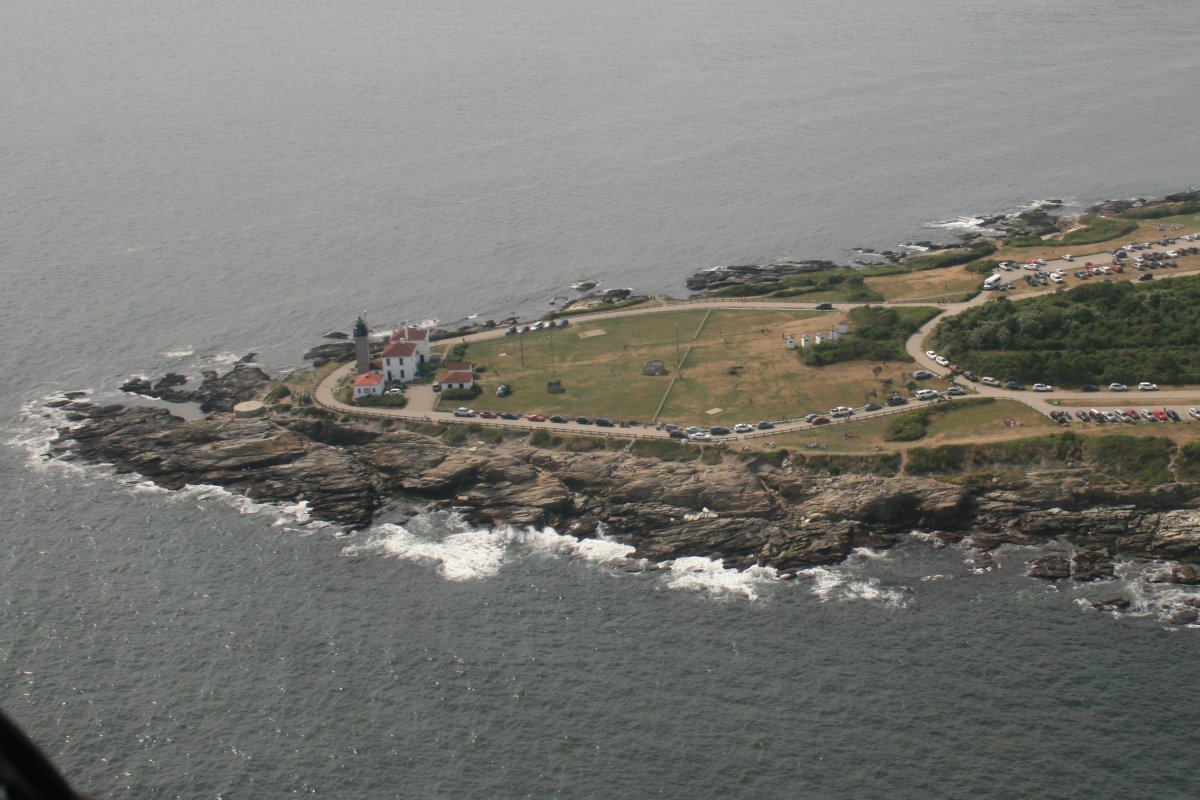
Beavertail Point.

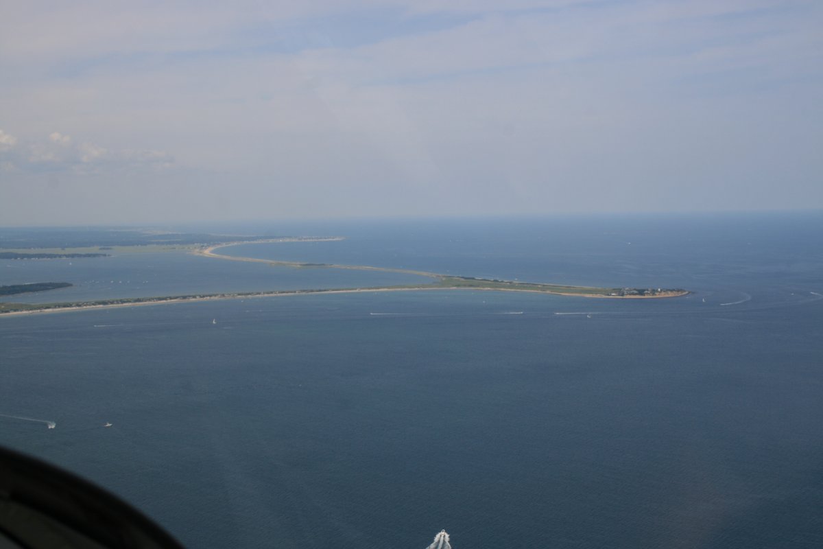
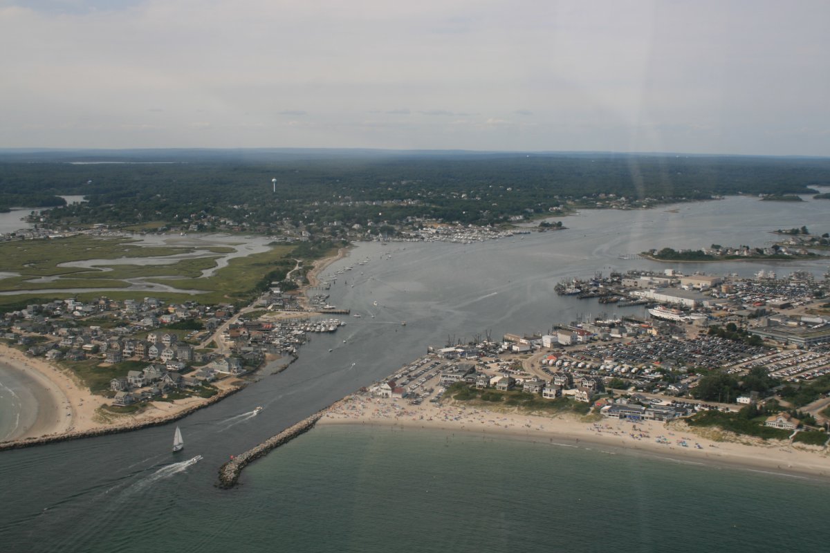
The entrance to Point Judith Pond which is the biggest "pond" I've ever seen.
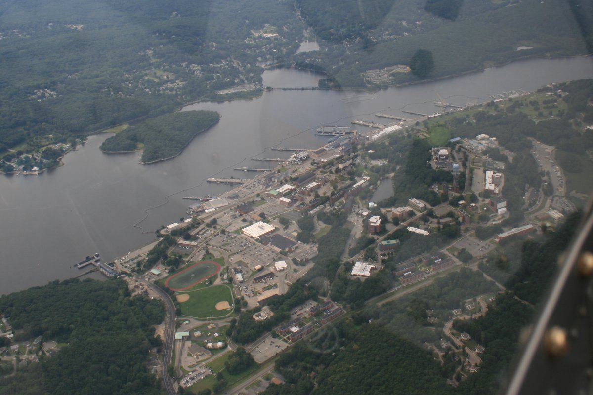
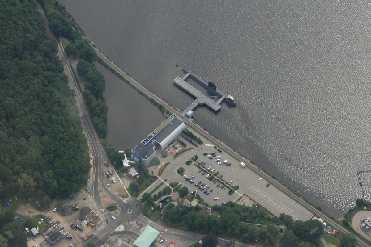
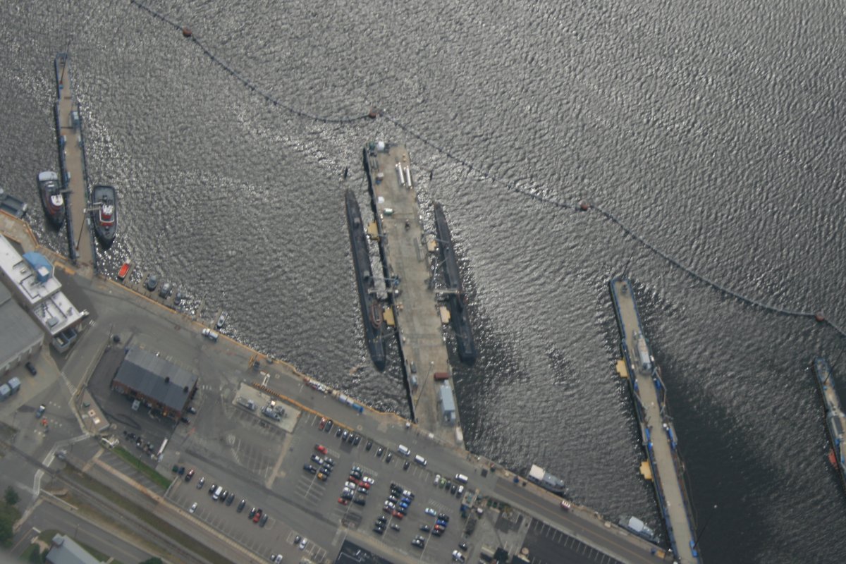
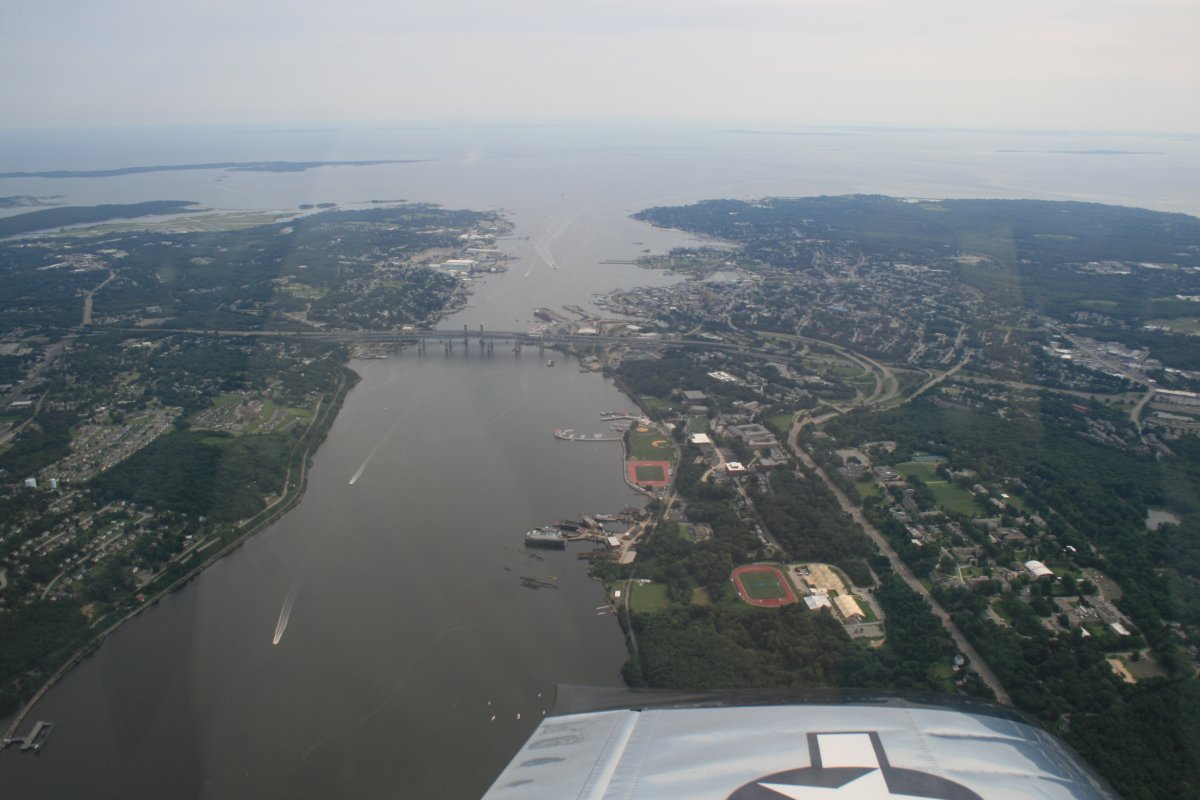
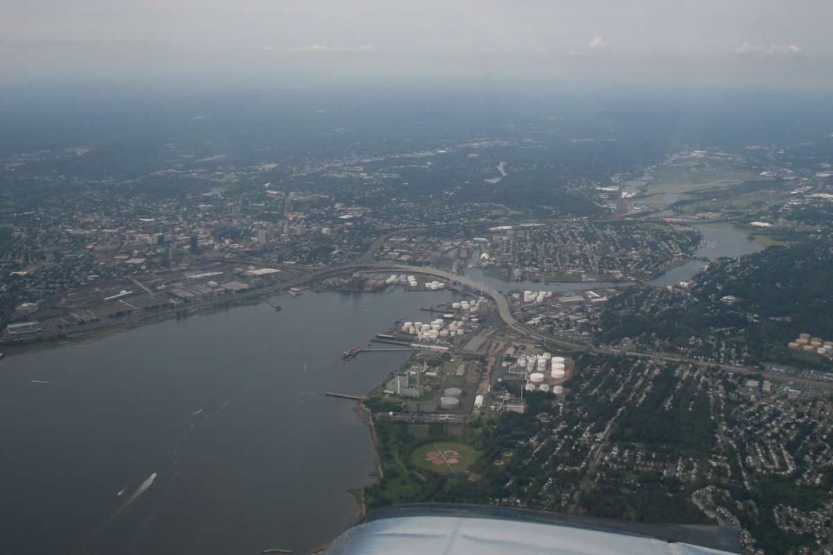
About to pass over the Thames River. The white-roofed buildings center left is General Dynamics Electric Boat, where they build submarines for the US Navy.
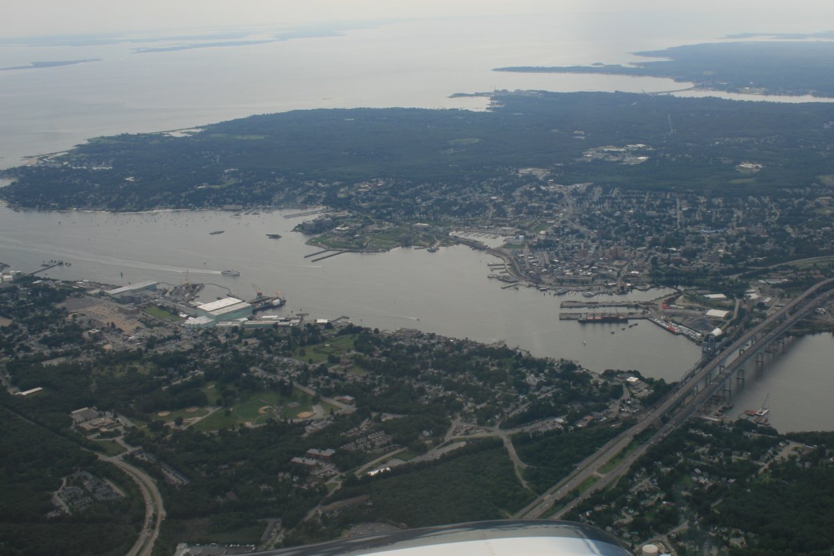
Looking east down the Thames River. New London, Thames: the Rhode Islanders must have really missed the home country.
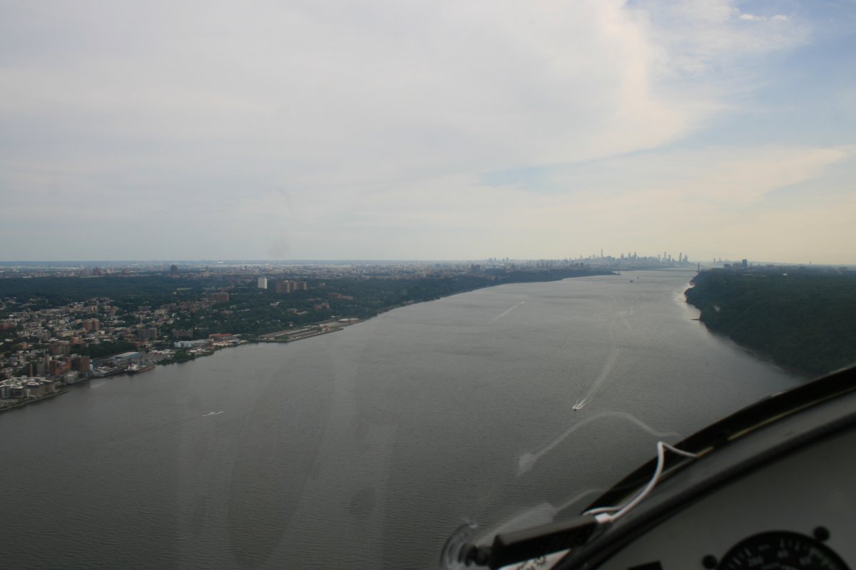
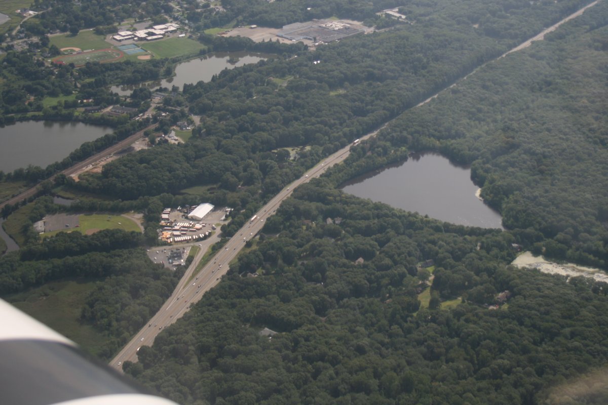
There is I-95 down there. You think it's heading south, but actually it is heading due west at this point.
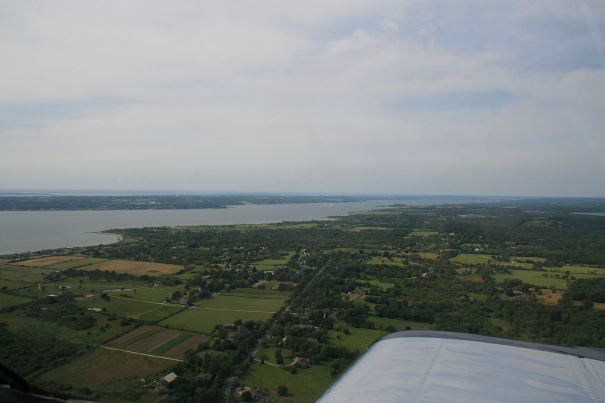
Looking south, Long Island is now visible across Long Island Sound.
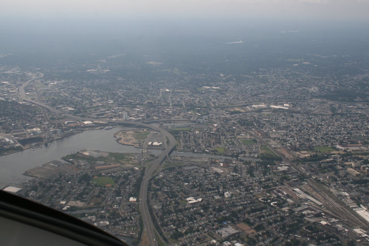
Bridgeport, Connecticut.
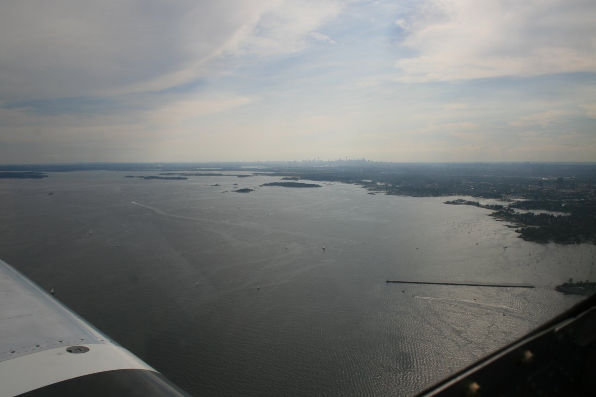
Long Island Sound is narrowing; I can see the Big Apple in the distance.